Insights
Wildlife Drones’ thermal survey locates Koalas for GHD
Innovative drone technology advances Koala impact assessment and conservation efforts across Australia.
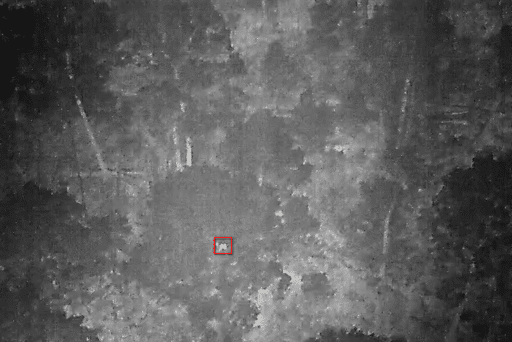
Wildlife Drones, an Australian drone sensor technology company, conducts thermal imaging surveys to detect koalas and greater gliders across eastern Australia to increase the efficiency and accuracy of impact assessments and conservation research. This includes koala surveys in partnership with GHD on major infrastructure projects.
Using advanced thermal drone technology, Wildlife Drones was able to detect and locate koalas in very low-density populations much more rapidly, comprehensively and cost-effectively than our usual ground-based surveys,” said Kirsten Crosby, Team Leader NSW Ecology, GHD.
As koala populations continue to decline across the country, it is increasingly difficult to detect their presence. “Innovative thermal survey techniques need to be incorporated to provide greater confidence that we haven’t missed anything crucial,” Ms Crosby said, “and has proven to be a game-changer in our efforts to more efficiently monitor and protect koalas when assessing potential impacts of proposed developments on threatened species.”
Thermal drone surveys cover more than five times the area than other survey methods, and also provide much more detailed and location specific data on each animal detected,” said Dr Debbie Saunders, CEO of Wildlife Drones.
However flying a drone across tall forests in the middle of the night, and accurately identifying different species while the drone is in the air, also requires immense skill and expertise to get the results needed. “Having drone pilots who are specialised in wildlife surveys and conduct this type of work on a daily basis, allows us to locate and monitor wildlife populations in the most non-invasive and cost-effective way, while also providing insights in real-time to our clients on the ground,” Dr Saunders said.
The success of the thermal imaging surveys has highlighted how the combination of innovative technologies together with drone pilot expertise in wildlife can be a game-changer for impact assessment and conservation projects. By providing more robust, repeatable and comprehensive surveys than any of the traditional ground-based methods, conservation efforts can be significantly streamlined and while also providing high confidence and accuracy of results.
For more information on Wildlife Drones’ thermal imaging technology and services, visit our website.

Media Contacts:
Wildlife Drones
Alex Kmita – Marketing Manager, Wildlife Drones
Email: alex@wildlifedrones.net
Phone: US toll-free: +1 (805) 856-8169 – Australia & other countries: 1300 828 679
Want to find out more?

