
Government Departments
Protect species and monitor habitats with innovative technology
Improve the efficiency of your wildlife management programs with Wildlife Drones’ innovative drone sensor technology.
Federal, State and Local Government agencies, land managers and research organisations worldwide have been working with Wildlife Drones to collect more data, more often with less effort.
Efficiently collecting quality wildlife and ecosystem data and understanding animal movements is key to reducing threats, managing invasive species and creating safe havens for wildlife to thrive. Wildlife Drones’ unique combination of innovative monitoring technology improves the quality of any conservation effort by saving researchers immense time, effort and money. For example, in just a single flight, Wildlife Drones’ telemetry system radio-tracks up to 40 animals simultaneously and rapidly covers vast areas otherwise inaccessible on the ground.

Collect more data, more often, with less effort
Improved staff safety

Rapidly track over
tricky terrain

Track up to 40
animals simultaneously

Reliable, real-time data to inform on-ground action

Create a high point to
maximise tag detection
whenever needed
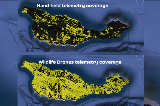
More coverage, more data
Radio-tracking animals from the ground is challenging: searching for radio signals across vast, difficult terrain like wetlands or rugged mountains takes a huge amount of time and effort, and the expenses certainly add up too!
With Wildlife Drones you can now efficiently collect quality animal movement data. Save time and money when conducting wildlife surveys or monitoring changes to habitats and populations over time
Track up to 40 animals
at the same time
With Wildlife Drones, you now have the ability to track up to 40 radio-tagged animals simultaneously. Importantly, this also reduces your risk of losing animals. View animal locations live on a map, even without any internet connectivity. Use this data to help observe or recover tagged animals, or implement more targeted sentinel animals management.
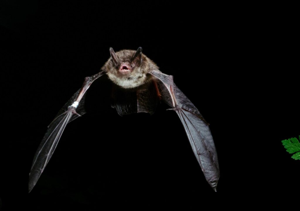
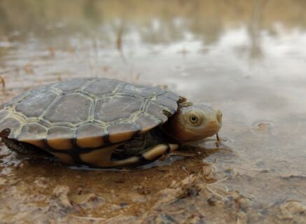
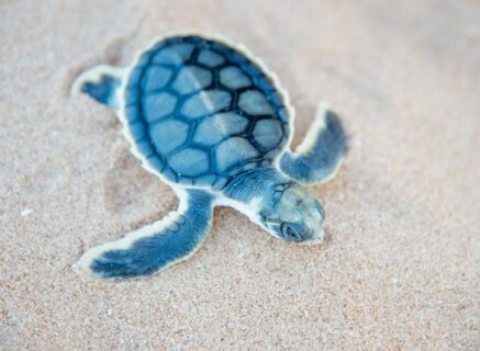
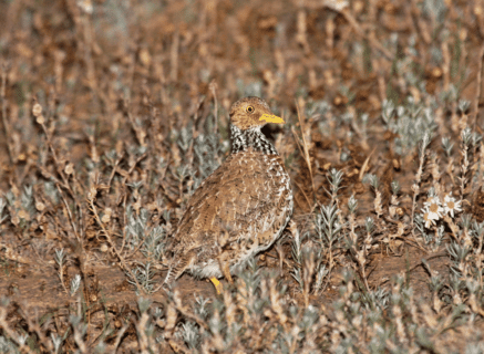
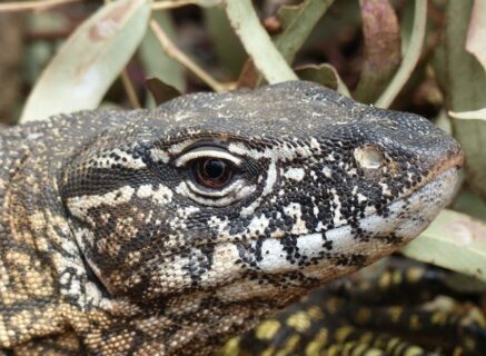
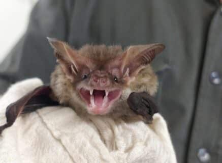
Detect VHF radio-tagged animals – large or small
Our wildlife tracking and monitoring system is compatible with all very-high frequency (VHF) radio transmitters with unique frequencies. This includes radio-tags, collars and implant tags of all sizes from any manufacturer globally. So you can use your favourite tags but find them much more easily.
Wildlife Drones can even be used to remotely download data logs from GPS/VHF tags. Speak to our team about this today!
Case Studies

Services

Radio-telemetry system
Experience the difference when you track with the world’s most advanced radio-tracking system. Gain valuable insights for less effort and take your research to new heights.

Thermal Imaging
Make the invisible visible with thermal drone technology. Spot nocturnal and cryptic animals easily regardless of whether they are tagged or not.

Drone Pilot Training
Whatever your level of experience, our team of experts can provide all the training you need to use drones for tracking animals.


