Insights
Top Tips for Flying Drones Over Wetlands
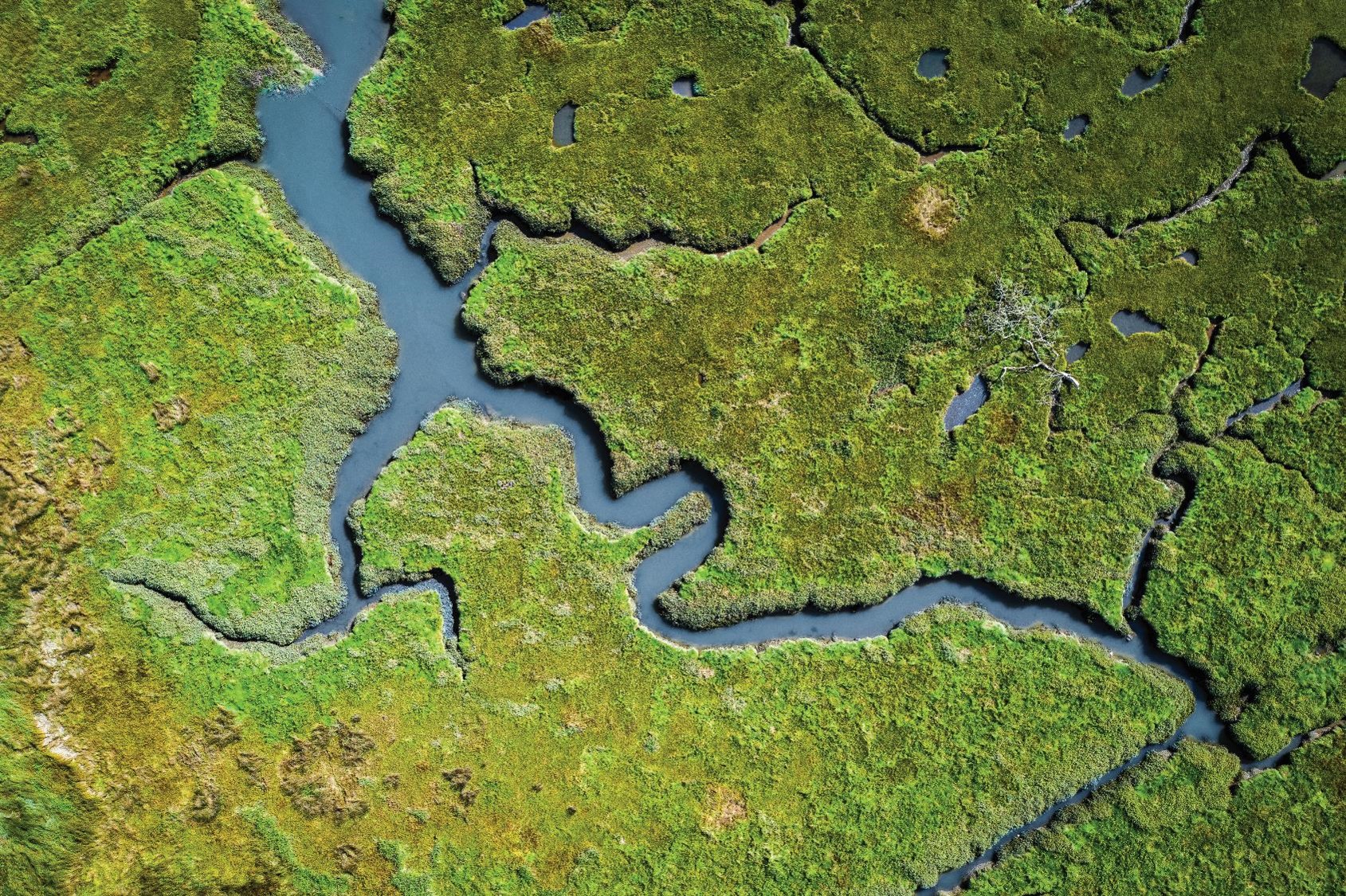
Wetlands are incredibly tricky and unsafe to navigate by foot because of their uneven terrain, submerged areas, and the potential of dangerous species. Wildlife Drones offers a safe and efficient solution to traditional wildlife radio tracking, allowing researchers to effectively monitor wildlife for wetland conservation.
Dive into this guide to discover top tips for successful wildlife drone tracking. We also explore why drones excel as wildlife tracking solutions, and showcase successful case studies!
5 Tips for Flying Drones Over Wetlands
If you’re a wildlife researcher planning on conducting research on wildlife in wetlands and intend to use drones for research, these top tips will help you get the most out of each flight journey, ensuring compliant, safe, and effective wildlife monitoring:
#1 Double Check All Equipment
Before your drone takes to the skies, double check all your essential equipment, including battery power, propellers, and the Dragonfly payload. This will ensure smooth and efficient tracking of wetland animals.
#2 Always Check Weather Forecasts
Drones don’t work well in certain conditions, such as heavy winds, fog, and excessive rainfall, which can hinder line of sight, damage equipment, and present potential safety risks, so it’s essential to plan ahead and check weather forecasts. This will also help you prepare for weather changes that otherwise impact flight time.
#3 Ensure You Adhere to Drone Laws
Always familiarise yourself with local drone flying rules and regulations, such as airspace restrictions, no-fly zones, and altitude limits, to avoid legal penalties. By complying with drone laws, you won’t just prevent penalties, but will also ensure responsible drone flying that’s safe for both wildlife and aircrafts.
#4 Fly At a Safe Distance
Ensure your drone maintains a safe distance from wetland habitats to ensure you observe wildlife without causing a disturbance, such as startling hatchlings or stressing certain species. Keeping a safe distance will ensure the safety of researchers and prevent damage to equipment, either caused by the naturally moist environment or territorial and curious animals.
#5 Plan Your Flight
It is possible to map out your flight paths before setting off. This will help you cover all required areas while pin-pointing habitats that require careful navigation. Pre-planning flight paths will also help you prepare for terrain elevation so you know how high to fly. This prevents collisions and ensures a safe journey.
Why Choose Drones Instead of Traditional Radio Telemetry Tracking?
Traditional radio tracking with a VHF transmitter and a handheld Yagi antenna requires on-foot trekking through wetland terrain, which makes wetland habitat conservation tricky.
There are several problems associated with navigating wildlife tracking with these traditional methods because many parts of wetlands are inaccessible, making on-foot tracking time-consuming and limited. On-foot tracking can also scare away wildlife, disturb habitats, and risk interaction with potentially dangerous or venomous animals.
Using Wildlife Drones drone-based telemetry tracking systems, allows researchers to gain valuable, real-time data in a much safer and more efficient way. Here are the amazing benefits presented by this innovative technology:
- Faster, Safer, and Easier Tracking: Tracking wildlife with drones is much safer, faster, and easier than using handheld antennas and radio transmitters that require on-foot navigation.
- Multi-Animal Tracking: Unlike traditional methods that restrict tracking to one animal at a time, the Wildlife Drone system allows researchers to monitor up to 40 animals simultaneously, offering efficient data collection.
- Non-Invasive: Wildlife Drones allows wildlife biologists to collect data of animals without navigating through wetland habitats and disturbing wildlife. This is especially helpful when tracking elusive endangered species, such as Australian Bitterns.
Case Study: How Wildlife Drones Supported The Study of Blue-Winged Teal Hatchling Research
Wildlife Drones’ technology helped researcher Grant Rhodes at Louisiana State University study Blue-Winged Teals. By combining Wildlife Drones’ advanced radio telemetry system with a high-resolution camera, Grant was able to observe this species’ hatchling survival.
This groundbreaking solution was the first time such data could be collected on this species without startling the birds and losing sight of them. Wildlife Drones also empowered Grant to accurately pin-point the ducks’ specific location while observing them through high-definition footage.


