Insights
Flying high in search of agile bats
“Oh, man – it’s essentially trying to find a needle in a haystack while on the bed of a semi-truck driving down the expressway!” – Will Seiter
As a description of some of the challenges in trying to track the movements of tiny bats, Will Seiter’s metaphor is hard to beat. It’s heartfelt too, coming hours after his team has spent the day in a Cessna 172 tracking the migratory movements of the Indiana bat across neighboring US states.
With an estimated population decline of 50% in the past 10 years, the Indiana bat is recognized as endangered by the US government, which is why Seiter’s company, Copperhead Environmental Consulting, Inc. is engaged to track its migration patterns.
Weighing on average just 7g, the bats can only be fitted with a tiny radio transmitter – in this case just 0.32g – and have to be tracked across steep and inaccessible terrain as they move up to 100km a night.
It’s the challenge that has faced anyone trying to track small animals in the decades since wildlife radio telemetry began in the 1960s. Despite the development of satellite-based technologies (such as GPS trackers) since the 1970s, the tags or collars are still too big for more than two-thirds of the world’s wildlife population – meaning small VHF radio transmitters remain the only practical choice in most cases as a wildlife tracking system.
Traditionally that has meant tracking their signals on foot with a clunky handheld receiver. And as any conservationist who has tried to follow a tagged animal in its natural habit will tell you, challenges are abound. The signal is weak (around 3-5km in the case of the Indiana bats), and can be further impeded by mountainous terrain and by the trees and bushes that offer hiding places for species like birds and bats. This terrain can be impassable or even downright dangerous for those doing the tracking. Fixed-wing aircraft can be used to carry receivers, but are prohibitively expensive when tracking animals one at a time.
That’s why Wildlife Drones’ solution is so exciting – and in Will Seiter’s case is unfolding in real-time. The key is the development of technology capable of tracking up 40 animals at a time, and small enough to be carried high into the air to create the necessary high points for effective data collection.
So far, the technology has only been used on drones, but for the first time, Seiter and his team are deploying it via a fixed-wing aircraft to traverse the huge distances the Indiana bat can cover in a night of flying. The technology is being adapted and upgraded almost daily as the project unfolds but it is literally a gamechanger in the context of collating data on this particular endangered species.
“The bat is so small that you need line of sight, generally, for the best signal on their transmitter,” Seiter says. “They typically are in areas with steep terrain, a lot of valleys, nooks and crannies. We’re currently also tracking the gray bat, another endangered species, and they roost in caves, so as soon as it jumps into a cave, or bridge or culvert or something, we lose the signal.”
“If we were doing this on the ground, it would not be possible, we pretty much have to be aerial to conduct these projects.”
“We’re going to be tagging 60 bats again during the summer and during the day, we’ll get up in the plane to find their day roosts and send those locations to a ground team that can then collect data on the individual roosts. So when you have 30 to 40 bats out on the landscape at any one time, that can get really tedious, continuously searching and switching between frequencies.”
“Using Wildlife Drones’ technology, we’ll be able to search for all those bats at the same time. And that’s going to dramatically cut down our total flight time,” says Seiter.
“Using that same needle in a haystack (metaphor): with our old system, we’d have 40 different trucks going down the highway, and we could only focus on one bat at a time, where Wildlife Drones lets us focus on all of the bats at the same time.”

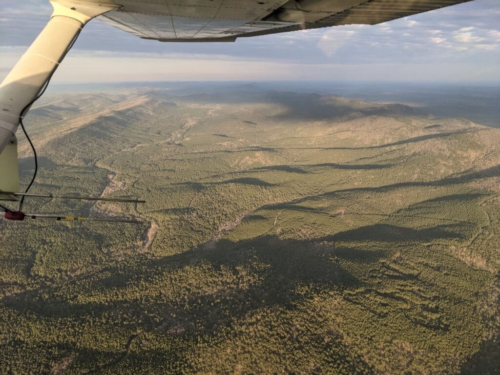
The view from Copperhead’s Cessna 172 
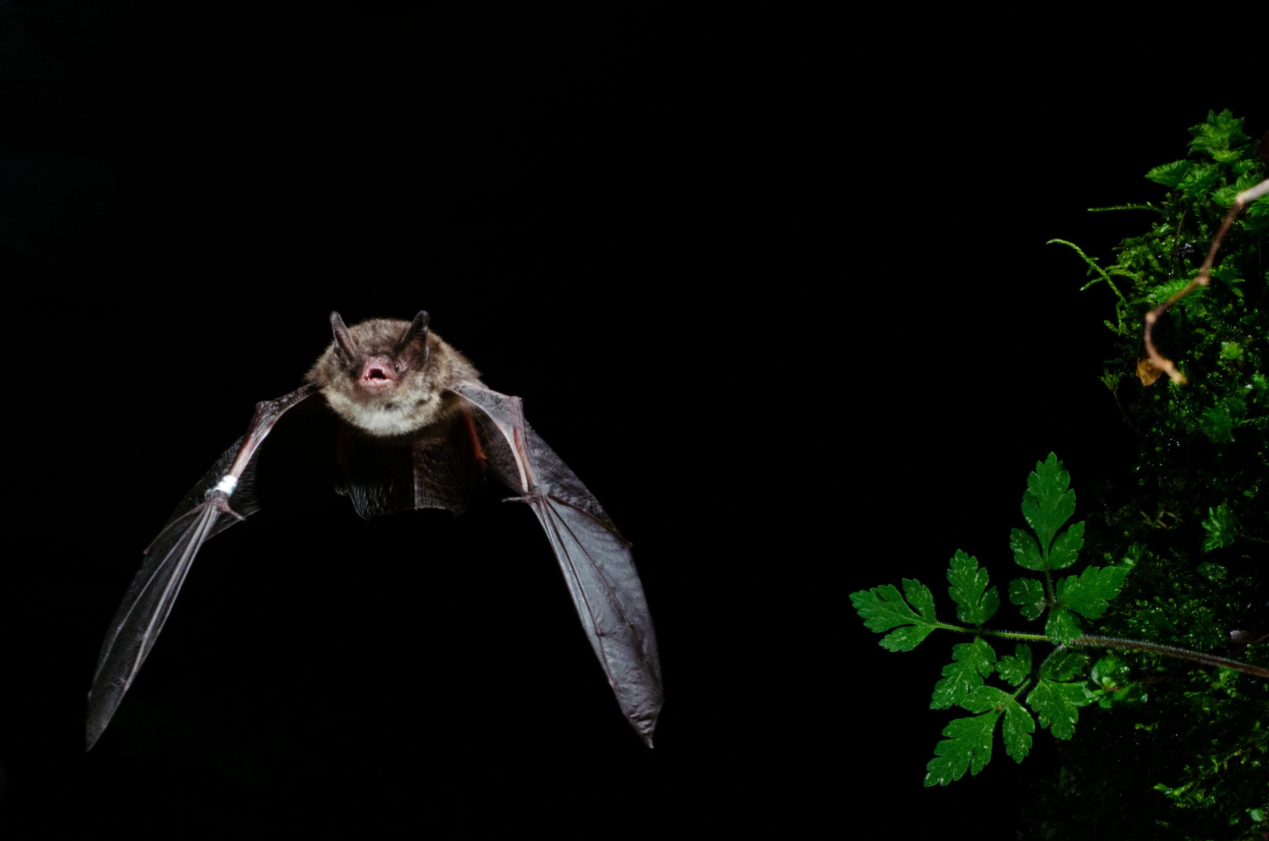
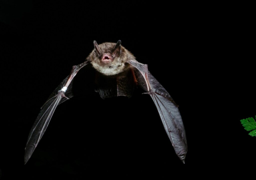
An Indiana bat in flight 
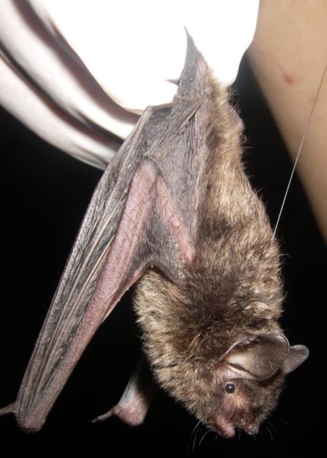
An Indiana bat fitted with a tiny radio transmitter 
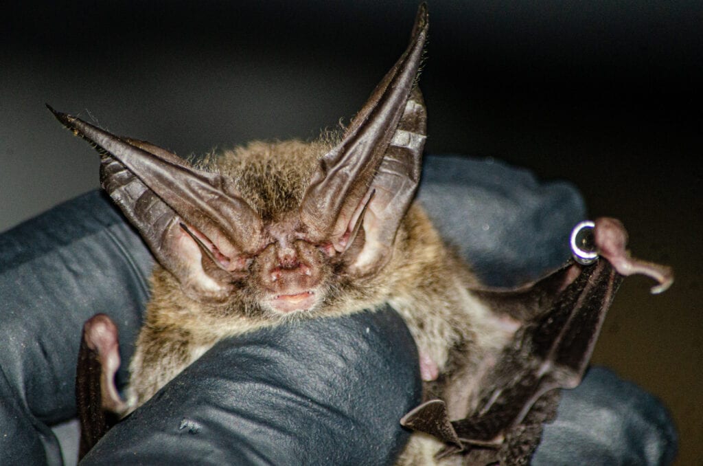
Rafinesque’s big-eared bat, another species that the Copperhead team works with 
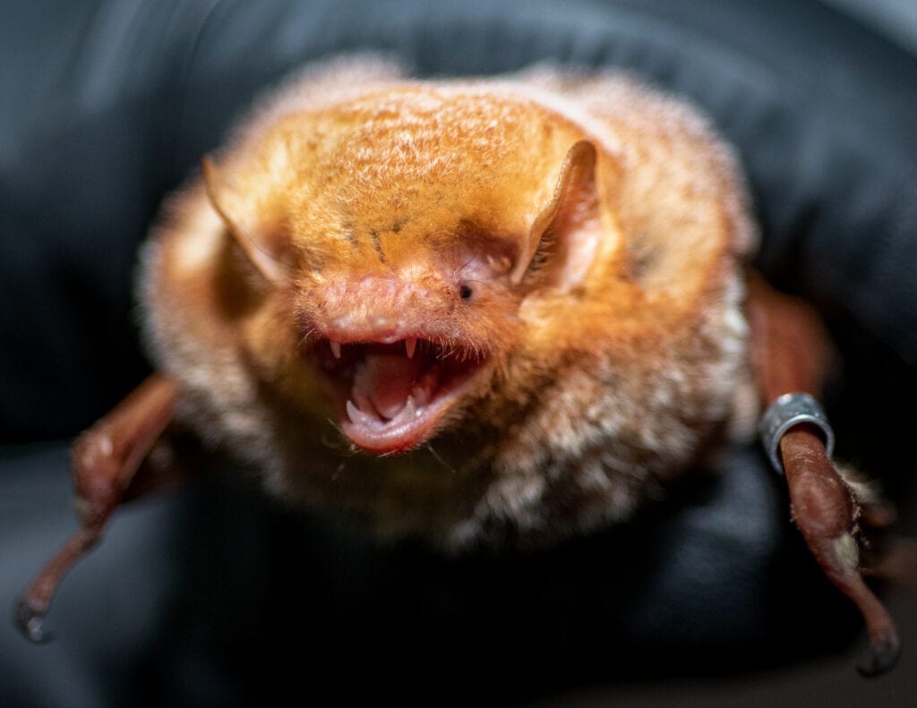
An Eastern red bat, another species that the Copperhead team works with
Photos courtesy of Copperhead Environmental Consulting Inc.


